


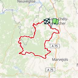

12,4 km | 16,3 km-effort


Utilisateur


Application GPS de randonnée GRATUITE
 SityTrail
IGN / Instituts géographiques
SityTrail World
Le monde est à vous
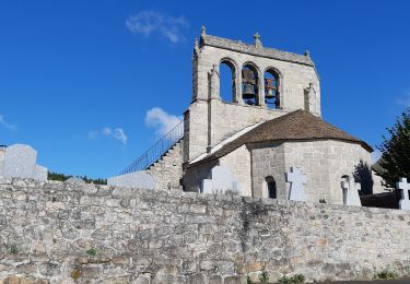
Randonnée Marche de 142 km à découvrir à Occitanie, Lozère, Peyre en Aubrac. Cette randonnée est proposée par pngt.
Aumont aubrac - ST laurent Muret (gite crasseux) - Rajas (tente)- ST Chély (gite)- Station Laguiole (tente) - Brion (tente)- Termes (hotel)-Aumont Aubrac
Marche
Marche
Marche
Marche

Vélo

Marche

Cheval

Moteur
Moteur